At ASG Mapping Ltd we provide best-in-class RPAS services. Our data products have the appropriate accuracy (horizontal and vertical) suitable to the intended applications (e.g., pre-engineering analysis, stockpile volume calculations) that can be used for making informed decisions. These data products can be natively used or imported into a variety of software products or applications.
Standard Data Products:
Orthomosaic
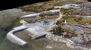
An orthomosaic (also called orthophoto, orthophotograph, or orthoimage) is a 2 D representation of the terrain. It is made up of multiple aerial photos that have been geometrically corrected (i e orthorectified) so that the scale is uniform. Orthorectification adjusts for topographic relief, camera lens distortion, and camera tilt. This process produces undistorted aerial photos which are then stitched together to produce a larger one. An orthomosaic is an accurate representation of the Earth’s surface and can be used to measure true distances and angles.
Point Cloud
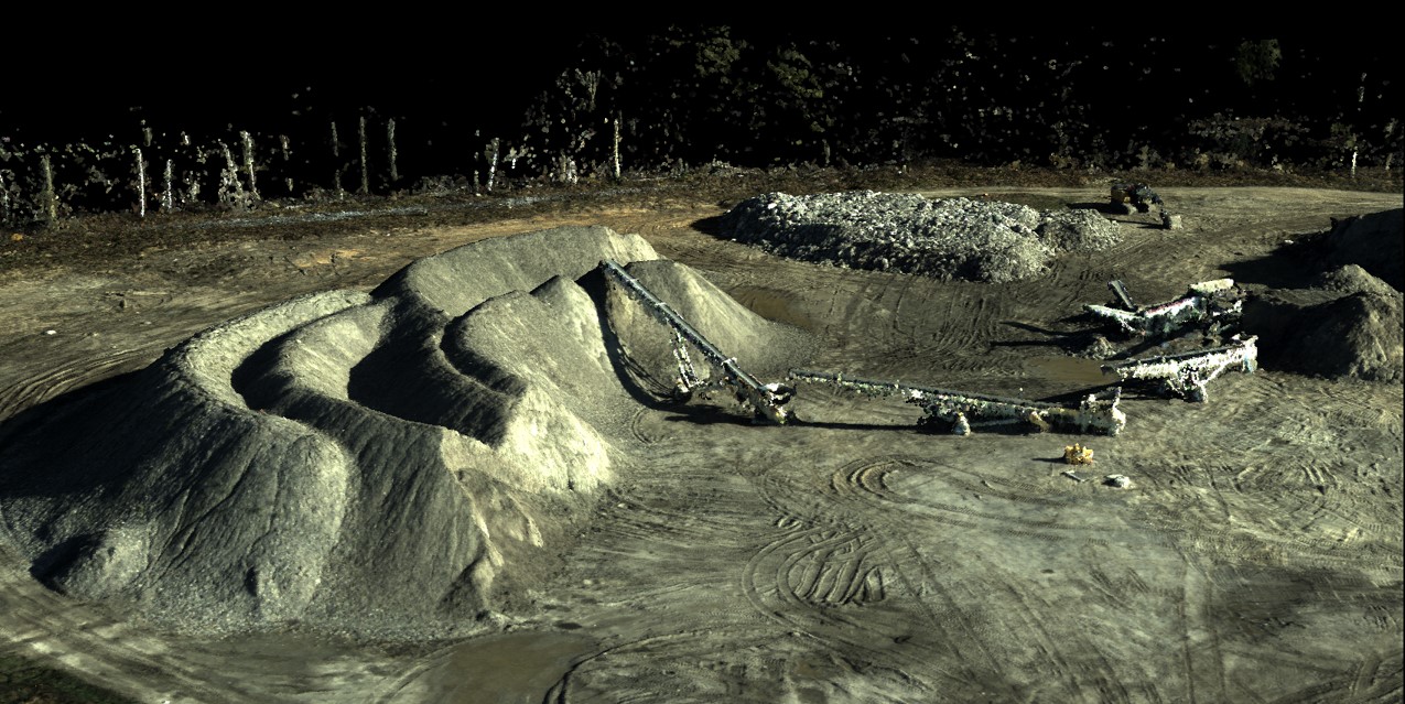
A point cloud is a 3 D representation of the terrain made up of distributed points defined by X, Y, and Z geographic coordinates. Point clouds can be generated using a variety of instruments including laser scanners (LiDAR) and RPAS aerial photos. In the case of RPAS aerial photos, photogrammetry techniques are used to match several photos so that matching points from multiple photos correspond to a specific point on the surveyed terrain. The density and quality of the point cloud heavily depends on the number of photos, quality of the photos and the protocol used in the RPAS data collection process. A point cloud is typically used for visualization purposes. To extract derivative products for analysis the point cloud undergoes further processing (e.g. classification) and/or conversion (e.g. 3D mesh creation, 3D modelling).
Digital Surface Model (DSM)
A DSM is a 3D representation of the terrain using an array of raster cells (pixels). All features on the terrain are represented including vegetation and cultural features such as roads, buildings, etc. A DSM is typically used for terrain visualization It can also be used for detailed terrain analysis and for volumetric calculations.